CoCIS_Admin
- Posted on
MAK CoCIS PhD Student Develops Technique for Minimizing Geometrical Errors while Updating Geospatial Databases
Spatial data capture is becoming easier due to reduction in cost and technologies thus attracting many players at different times for the same location who often use different methods, instruments and data storage structures.
These datasets can be integrated through direct merging however, it creates geometrical errors in form of slivers and danglings emanating from the openings and overlaps of objects. Attempts to address this limitation have not achieved the duo objective of removing the errors and maintaining the geometrical characteristics of objects.
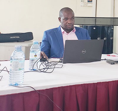
To minimize the geometrical errors Mr. Wadembere Ismail a PhD student at the college carried out a study and developed a Localized Geometrical Alignment Technique (LGAT) for updating geo-spatial datasets. The technique provides an innovative approach of integrating multitude of vector datasets having spatial topological and attributes inconsistencies from different agencies.
Mr. Wadembere was ably supervised by Prof. Patrick Ogao, and Prof. Moses Musingunzi.

He successfully presented the findings of the study for award of PhD of Makerere University to a panel chaired by Assoc. Prof. Gilbert Maiga(Dean School of Information Technolory at CoCIS) flanked by Dr. Paul Mukwaya (internal examiner), Prof Anthony Gidudu (Internal Examiner), Dr. Peter Nabende( Chair Department of Information Systems), Dr. Anabella Habinka, Dr. Irene Arinitwe, Dr. Rashida Kasawuli, The Opponent was Assoc. Prof. Faith Njoki Karanja Chair Geospatial and Space Technology University of Nairobi.
Abstract Attached Here.Abstract_Feb2022_Ismail