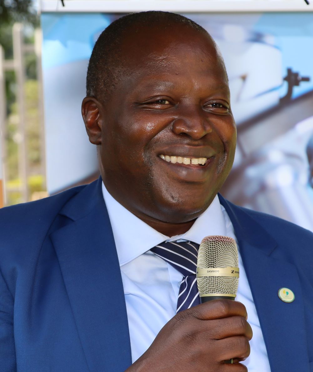
Prof. Tony Oyana
Principal
Prof. Tonny Oyana is the Principal, of the College of Computing and Information Sciences (CoCIS), at Makerere University.
Profile Summary
Prof. Tonny J. Oyana is the Principal, College of Computing and Information Sciences (CoCIS), Makerere University. He was appointed as Principal for the second term of office effective 1st February 2022 to 31st January 2026 after serving his first term of appointment from 1st August 2017- 31st July 2021
He holds a PhD in Geography with a concentration in Geographical Information Systems (GIS) from the State University of New York (SUNY) Buffalo (2013). He attained a Degree of Master of Science of the National University of Ireland (1996) and was awarded First Class Honours in Geography and the Degree of Science (Education) with honours Second Class Upper Divison Dar es salaam University on 7th November, 1993
He has previously served as Director of the Undergraduate Programs, Department of Geography and Environmental Resources, Southern Illinois University (SIU) and as the Director of Informatics for the Institute for Research, Innovation, Synergy and Health Equity (iRISE) Community & Collaboration Core, University of Tennessee Health Science Center, Memphis both in the U.S.
Prof. Oyana’s research and teaching interests include Geographic Information Science and Spatial Analytical Methods. Within these areas, he has several substantive foci, including GIS, spatial analysis, visualization and cartographic design, spatial analytics, data science, and spatial epidemiology. His core research focuses on three lines of inquiry: (1) establishing the relationship between environmental health and life course exposure, (2) advancing GIS methods, algorithm design, and spatial analytical methods, and (3) understanding factors that contribute to land systems change.
He has significant research interest in emerging interdisciplinary topics and works with very large-scale spatial datasets. He is expanding his extensive knowledge of geography, data science, and algorithms to solve complex problems. He authored over 95 scientific publications including 55+ journal articles, 28+ refereed conference proceedings, 2 books, 10 book chapters, 10 book reviews, presented over 120 papers at regional, national, and international conferences, and written 20+ technical reports.
Oyana has over twenty-two years of demonstrated research and academic experience grounded in North America, South America, Asia, Europe, and Africa. He has received over 20 national and international honors and awards. He spent his eight-month sabbatical leave as a Visiting Professor in 2010 at Yonsei University, South Korea. As a major advisor, he has directed the dissertation work of over 20 Master and 3 PhD students, many of whom have gone on to responsible positions in academic, industrial, and government. In total, he has served on 9 completed PhDs and 38 Master’s committees.
He has been awarded over $3.5 million in external, internal, and service grants. His work has been funded by the National Science Foundation (NSF), Sida, Centers for Disease Control and Prevention (CDC), Health Effects Institute, START International, and Kaleida Health Foundations. Earlier studies were funded by the Center for Development Research of Denmark, University of Nairobi, and the United Nations Center for Regional Development. Early in his research career, Prof. Oyana conducted research in development issues—the role of small scale enterprises in Africa’s Industrial Development, and a preliminary study on cross-border activities and its implications on development. He was a visiting Research Fellow at the International Center for Tropical Agriculture in Colombia, South America. Prof. Oyana’s contribution to CIAT included the first applications of GIS in environmental health. He has advanced skills and knowledge of public health informatics and works with big geospatial datasets. He is using it to tackle health disparities challenges. Dr. Oyana has a long history of applying GIS, visualization, and spatial analytics methods to public health issues.
